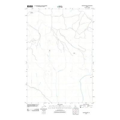
2010 Map of Hoover Point
USGS Topo · Published 2010About this map
Deer Creek Mine sits at the heart of this landscape, marking a legacy of resource extraction in the high country south of Mission Creek. The terrain is defined by the dramatic descent toward the Salmon River in the southeast corner, where the river makes a sharp turn at the Oxbow. This topography creates a complex network of drainage systems, with the East Fork Deer Creek and West Fork Maloney Creek carving deep paths through the highlands.
Find a feature on this map
19 named features on this map. Tap any name to fly to it.
Don’t see what you’re looking for? This feature index may not catch every label — zoom into the map to look around manually.
Map Details
Editions of this 2010 Hoover Point Map
This is the sole edition of this map. No revisions or reprints were ever made.
Other maps of this area

1946 · Limekiln Rapids
USGS Topo · 1:62,500

1955 · Pullman
USGS Topo · 1:250,000

1955 · Grangeville
USGS Topo · 1:250,000

1958 · Pullman
USGS Topo · 1:250,000

1959 · Grangeville
USGS Topo · 1:250,000

1963 · Boles
USGS Topo · 1:24,000

1963 · Rattlesnake Ridge
USGS Topo · 1:24,000

1963 · Wapshilla Creek
USGS Topo · 1:24,000

1967 · Hoover Point
USGS Topo · 1:24,000

1967 · Westlake
USGS Topo · 1:24,000