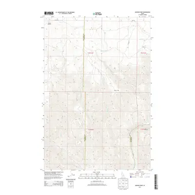
2013 Map of Hoover Point
USGS Topo · Published 2013About this map
The Salmon River carves a deep path through this portion of Nez Perce, Lewis, and Idaho Counties, creating a dramatic Oxbow in the southeastern corner. This landscape is defined by its significant relief, where the heights of Hoover Point overlook a complex network of drainages including Deer Cr, Maloney Cr, and a series of numbered streams like First Cr, Second Cr, and Third Cr. High-elevation pockets like Larabee Meadows provide a contrast to the steep canyons leading down to the river.
Find a feature on this map
20 named features on this map. Tap any name to fly to it.
Don’t see what you’re looking for? This feature index may not catch every label — zoom into the map to look around manually.
Map Details
Editions of this 2013 Hoover Point Map
This is the sole edition of this map. No revisions or reprints were ever made.
Other maps of this area

1946 · Limekiln Rapids
USGS Topo · 1:62,500

1955 · Pullman
USGS Topo · 1:250,000

1955 · Grangeville
USGS Topo · 1:250,000

1958 · Pullman
USGS Topo · 1:250,000

1959 · Grangeville
USGS Topo · 1:250,000

1963 · Boles
USGS Topo · 1:24,000

1963 · Rattlesnake Ridge
USGS Topo · 1:24,000

1963 · Wapshilla Creek
USGS Topo · 1:24,000

1967 · Hoover Point
USGS Topo · 1:24,000

1967 · Westlake
USGS Topo · 1:24,000