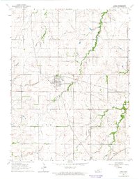
1964 Map of Hope
USGS Topo · Published 1965About this map
Hope serves as the central hub of this mid-1960s landscape, where the Missouri Pacific and Atchison Topeka and Santa Fe railroads intersect. This intersection defines the local economy, alongside an already defunct Old Railroad Grade running west of the town center. The surrounding rural landscape in Dickinson County is marked by several burial grounds, including St Phillips Cem and Pilgrims Home Cem, which offer significant points of interest for genealogical research.
Find a feature on this map
18 named features on this map. Tap any name to fly to it.
Don’t see what you’re looking for? This feature index may not catch every label — zoom into the map to look around manually.
Map Details
Editions of this 1964 Hope Map
2 editions found
Other maps of this area

1889 · Abilene
USGS Topo · 1:125,000

1889 · Parkerville
USGS Topo · 1:125,000

1894 · Abilene
USGS Topo · 1:125,000

1894 · Parkerville
USGS Topo · 1:125,000

1955 · Hutchinson
USGS Topo · 1:250,000

1959 · Hutchinson
USGS Topo · 1:250,000

1963 · Abilene SW
USGS Topo · 1:24,000

1964 · Elmo
USGS Topo · 1:24,000

1964 · Ramona
USGS Topo · 1:24,000

1964 · Navarre
USGS Topo · 1:24,000