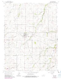
1964 Map of Hope
USGS Topo · Published 1985About this map
Hope serves as the central hub of this Dickinson County landscape, where several major rail lines intersect and branch across the prairie. The town layout is clearly defined against the surrounding agricultural lands of Union, Hope, and Lyon townships. Notable transportation infrastructure includes the Atchison Topeka and Santa Fe, the Missouri Pacific, and the St Louis Southwestern railroads. The presence of an Old Railroad Grade north of town indicates the shifting patterns of Kansas commerce over time.
Find a feature on this map
19 named features on this map. Tap any name to fly to it.
Don’t see what you’re looking for? This feature index may not catch every label — zoom into the map to look around manually.
Map Details
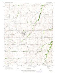
Editions of this 1964 Hope Map
2 editions found
Other maps of this area

1889 · Abilene
USGS Topo · 1:125,000

1889 · Parkerville
USGS Topo · 1:125,000

1894 · Abilene
USGS Topo · 1:125,000

1894 · Parkerville
USGS Topo · 1:125,000

1955 · Hutchinson
USGS Topo · 1:250,000

1959 · Hutchinson
USGS Topo · 1:250,000

1963 · Abilene SW
USGS Topo · 1:24,000

1964 · Elmo
USGS Topo · 1:24,000

1964 · Ramona
USGS Topo · 1:24,000

1964 · Navarre
USGS Topo · 1:24,000