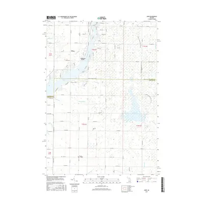
2017 Map of Hope
USGS Topo · Published 2017About this map
Billings and Hope anchor this rural landscape in Michigan's Gladwin and Midland counties, where the Tittabawassee River expands into the waters of Wixom Lake. The settlement of Lockwood Beach sits along the river's edge, reflecting a community centered on the waterway. A sophisticated network of agricultural drainage is evident throughout the region, with named features such as Pary Drain, Davids Drain, and Hess Drain following the section lines. The presence of Billings Cem, New Hope Cem, and Hope Cem provides essential touchstones for genealogists tracing family roots in this corner of the state. One of the more unique human-made features is the Midland to Mackinaw Boy Scout Trail, which traverses the eastern half of the map, cutting through areas like Sand Ridge and the Kawkawlin Creek-Flooding.
Find a feature on this map
61 named features on this map. Tap any name to fly to it.
Don’t see what you’re looking for? This feature index may not catch every label — zoom into the map to look around manually.
Map Details
Editions of this 2017 Hope Map
This is the sole edition of this map. No revisions or reprints were ever made.
Other maps of this area

1934 · Sanford
USGS Topo · 1:62,500

1936 · Sanford
USGS Topo · 1:62,500

1954 · Midland
USGS Topo · 1:250,000

1958 · Midland
USGS Topo · 1:250,000

1959 · Midland
USGS Topo · 1:250,000

1962 · Midland North
USGS Topo · 1:24,000

1966 · Midland
USGS Topo · 1:250,000

1969 · Gladwin
USGS Topo · 1:24,000
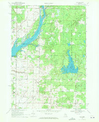
1969 · Hope
USGS Topo · 1:24,000
1969 · Bentley
USGS Topo · 1:24,000