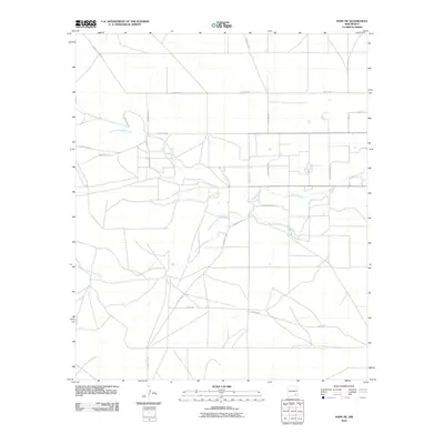
2010 Map of Hope NE
USGS Topo · Published 2010About this map
Cottonwood Creek and its major tributaries, North Cottonwood Creek and South Cottonwood Creek, dominate this arid Chaves County landscape. In this early 21st-century survey, the drainage patterns indicate a terrain shaped by seasonal water flow, with roads often following the natural contours of the land. The human footprint is defined by a grid of rural routes and family-named thoroughfares such as Sacramento Rd and S Pecan Grove Rd, suggesting a region primarily utilized for ranching or agricultural operations. While dense settlements are absent, the network of tracks like White Tail Rd and W Bittersweet Rd reveals the scattered nature of rural infrastructure in this portion of southeastern New Mexico, where access is tied closely to these established ranch roads and draws.
Find a feature on this map
21 named features on this map. Tap any name to fly to it.
Don’t see what you’re looking for? This feature index may not catch every label — zoom into the map to look around manually.
Map Details
Editions of this 2010 Hope NE Map
This is the sole edition of this map. No revisions or reprints were ever made.
Other maps of this area

1952 · Hagerman SW
USGS Topo · 1:24,000

1953 · Espuela
USGS Topo · 1:24,000

1954 · Carlsbad
USGS Topo · 1:250,000

1955 · Artesia
USGS Topo · 1:24,000

1955 · Hope NW
USGS Topo · 1:24,000

1955 · Hackberry Ranch
USGS Topo · 1:24,000

1955 · Kincaid Ranch
USGS Topo · 1:24,000

1955 · Hope NE
USGS Topo · 1:24,000

1955 · Hope
USGS Topo · 1:24,000

1955 · Roswell
USGS Topo · 1:250,000