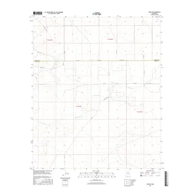
2017 Map of Hope NE
USGS Topo · Published 2017About this map
N Cottonwood Cr and S Cottonwood Cr define the drainage patterns across this rural landscape in southeastern New Mexico. The area's character is defined by its transition between Chaves and Eddy counties, marked by a systematic grid of section lines and gravel roads that support local ranching and agricultural operations. Notable access routes like Pearson Rd, W Bittersweet Rd, and White Tail Rd navigate the undulating terrain, following the natural contours and draws toward the Cottonwood Cr drainage. This 2017 edition documents the modern land divisions and infrastructure of this arid region, providing a baseline for understanding the 21st-century footprint of the Western rangeland where name-based landmarks like W Walnut Draw Rd and N Joy Rd speak to the local geography and family history of the territory.
Find a feature on this map
22 named features on this map. Tap any name to fly to it.
Don’t see what you’re looking for? This feature index may not catch every label — zoom into the map to look around manually.
Map Details
Editions of this 2017 Hope NE Map
This is the sole edition of this map. No revisions or reprints were ever made.
Other maps of this area

1952 · Hagerman SW
USGS Topo · 1:24,000

1953 · Espuela
USGS Topo · 1:24,000

1954 · Carlsbad
USGS Topo · 1:250,000

1955 · Artesia
USGS Topo · 1:24,000

1955 · Hope NW
USGS Topo · 1:24,000

1955 · Hackberry Ranch
USGS Topo · 1:24,000

1955 · Kincaid Ranch
USGS Topo · 1:24,000

1955 · Hope NE
USGS Topo · 1:24,000

1955 · Hope
USGS Topo · 1:24,000

1955 · Roswell
USGS Topo · 1:250,000