
1968 Map of Hope NE
USGS Topo · Published 1970About this map
The Middle Branch Goose River and Goose River wind through this prairie landscape, defining the rural character of Steele County during the late 1960s. The sheet captures a largely agricultural expanse organized by township boundaries, including Sherbrooke, Primrose, Edendale, and Hugo. Settlement patterns here are tied to the land and localized civic life, evidenced by the central placement of a Townhall and the Perry Ch near the river's eastern bend.
Find a feature on this map
11 named features on this map. Tap any name to fly to it.
Don’t see what you’re looking for? This feature index may not catch every label — zoom into the map to look around manually.
Map Details
Editions of this 1968 Hope NE Map
This is the sole edition of this map. No revisions or reprints were ever made.
Other maps of this area

1952 · Grand Forks
USGS Topo · 1:250,000

1956 · Grand Forks
USGS Topo · 1:250,000

1966 · Grand Forks
USGS Topo · 1:250,000

1966 · Galesburg
USGS Topo · 1:24,000

1966 · Hope SE
USGS Topo · 1:24,000
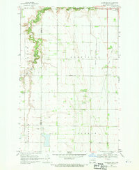
1968 · Galesburg
USGS Topo · 1:24,000

1968 · Sherbrooke
USGS Topo · 1:24,000
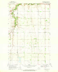
1968 · Galesburg NW
USGS Topo · 1:24,000
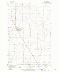
1968 · Hope
USGS Topo · 1:24,000
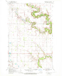
1970 · Northwood SE
USGS Topo · 1:24,000
Featured Places
- Sherbrooke Township, ND
- Golden Lake Township, ND
- Enger Township, ND
- Hugo Township, ND
- Primrose Township, ND