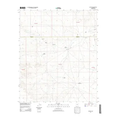
2013 Map of Hope NW
USGS Topo · Published 2013About this map
North Cottonwood Cr and South Cottonwood Cr define the hydrological character of this landscape at the boundary of Chaves Co and Eddy Co. The terrain is marked by an intricate network of drainage features, including the uniquely named Paris Dainwood Draw and Goaty Canyon. These features illustrate the erosion patterns across the high desert plains of New Mexico. Human presence is concentrated near the J X Ranch, while a sparse network of thoroughfares like W Pearson Rd and CO Road 129 provides access through the various canyons and draws. This survey provides a record of land use and topographic detail in a region where water and relief dictate the placement of ranching outposts and transportation routes.
Find a feature on this map
23 named features on this map. Tap any name to fly to it.
Don’t see what you’re looking for? This feature index may not catch every label — zoom into the map to look around manually.
Map Details
Editions of this 2013 Hope NW Map
This is the sole edition of this map. No revisions or reprints were ever made.
Other maps of this area

1954 · Carlsbad
USGS Topo · 1:250,000

1955 · Hope NW
USGS Topo · 1:24,000

1955 · Hackberry Ranch
USGS Topo · 1:24,000

1955 · Kincaid Ranch
USGS Topo · 1:24,000

1955 · Hope NE
USGS Topo · 1:24,000

1955 · Hope
USGS Topo · 1:24,000

1955 · Roswell
USGS Topo · 1:250,000

1956 · Hope
USGS Topo · 1:24,000

1956 · Hope SE
USGS Topo · 1:24,000

1958 · Carlsbad
USGS Topo · 1:250,000