2020 Map of Hope NW
USGS Topo · Published 2020About this map
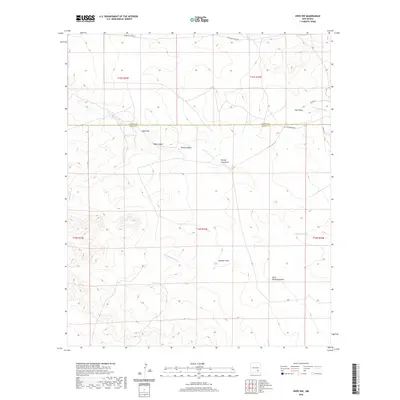
Arid drainage networks define this landscape within the Chaves and Eddy County borderlands. The geography is characterized by a series of significant draws and canyons that channel seasonal runoff toward the Pecos River basin. Principal among these are N Cottonwood Cr and S Cottonwood Cr, which are joined by more localized topographic features such as George Draw, George Long Draw, and the curiously named Paris Dainwood Draw. Sparse human infrastructure is limited to rural routes like W Walnut Draw RD and W Pearson RD, which navigate the high ground between Well Canyon and Goaty Canyon. This late-date survey provides a clear view of the modern land divisions and township boundaries, including t15s r23e and t16s r23e, showing how the rugged terrain dictates the placement of the few remaining local roads.
Find a feature on this map
20 named features on this map. Tap any name to fly to it.
Don’t see what you’re looking for? This feature index may not catch every label — zoom into the map to look around manually.
Map Details
Editions of this 2020 Hope NW Map
This is the sole edition of this map. No revisions or reprints were ever made.
Other maps of this area

1954 · Carlsbad
USGS Topo · 1:250,000

1955 · Hope NW
USGS Topo · 1:24,000

1955 · Hackberry Ranch
USGS Topo · 1:24,000

1955 · Kincaid Ranch
USGS Topo · 1:24,000

1955 · Hope NE
USGS Topo · 1:24,000

1955 · Hope
USGS Topo · 1:24,000

1955 · Roswell
USGS Topo · 1:250,000

1956 · Hope
USGS Topo · 1:24,000

1956 · Hope SE
USGS Topo · 1:24,000

1958 · Carlsbad
USGS Topo · 1:250,000