2023 Map of Hope NW
USGS Topo · Published 2023About this map
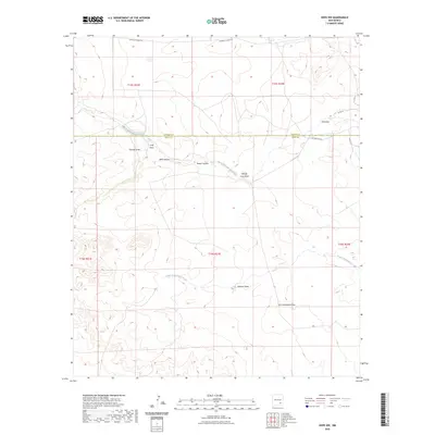
North Cottonwood Creek and South Cottonwood Creek carve a series of ephemeral drainage patterns across this section of the New Mexico landscape. The topography is defined by numerous named draws and canyons that reveal the intricate hydrology of the high desert, extending across the border of Chaves Co and Eddy Co. Local ranching and land management are evidenced by the presence of maintained routes such as Co Rd 46 and W Pearson Rd, which provide access to the remote canyon systems.
Find a feature on this map
20 named features on this map. Tap any name to fly to it.
Don’t see what you’re looking for? This feature index may not catch every label — zoom into the map to look around manually.
Map Details
Editions of this 2023 Hope NW Map
This is the sole edition of this map. No revisions or reprints were ever made.
Other maps of this area

1954 · Carlsbad
USGS Topo · 1:250,000

1955 · Hope NW
USGS Topo · 1:24,000

1955 · Hackberry Ranch
USGS Topo · 1:24,000

1955 · Kincaid Ranch
USGS Topo · 1:24,000

1955 · Hope NE
USGS Topo · 1:24,000

1955 · Hope
USGS Topo · 1:24,000

1955 · Roswell
USGS Topo · 1:250,000

1956 · Hope
USGS Topo · 1:24,000

1956 · Hope SE
USGS Topo · 1:24,000

1958 · Carlsbad
USGS Topo · 1:250,000