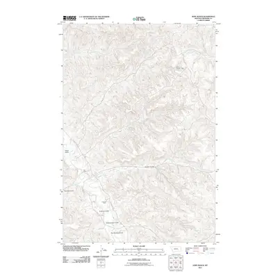
2011 Map of Hope Ranch
USGS Topo · Published 2011About this map
Hope Ranch and Anderson Ranch serve as the primary human landmarks in this high-plains landscape of Treasure County. The terrain is deeply inscribed by a network of seasonal watercourses and drainage features, most notably Tullock Creek and Big Lightning Creek. These water systems create a complex series of coulees, including Hollister Coulee and Anderson Coulee, which characterize the local topography. This map documents the area during a period of modern ranching, where water management is critical for local operations as evidenced by the Hope et al Number 1 Dam located near West Bear Creek. The drainage patterns, such as Hutchinson Creek and East Burnt Creek, suggest a landscape defined by natural runoff channels that dictate the placement of ranch roads and boundaries in this sparsely populated portion of Montana.
Find a feature on this map
20 named features on this map. Tap any name to fly to it.
Don’t see what you’re looking for? This feature index may not catch every label — zoom into the map to look around manually.
Map Details
Editions of this 2011 Hope Ranch Map
This is the sole edition of this map. No revisions or reprints were ever made.
Other maps of this area

1954 · Hardin
USGS Topo · 1:250,000

1954 · Forsyth
USGS Topo · 1:250,000

1957 · Hardin
USGS Topo · 1:250,000

1957 · Forsyth
USGS Topo · 1:250,000

1958 · Forsyth
USGS Topo · 1:250,000

1958 · Hardin
USGS Topo · 1:250,000

1960 · Bighorn
USGS Topo · 1:24,000

1960 · Marsh Coulee
USGS Topo · 1:24,000

1960 · Eldering Ranch
USGS Topo · 1:24,000

1960 · Hope Ranch
USGS Topo · 1:24,000