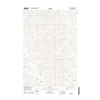
2014 Map of Hope Ranch
USGS Topo · Published 2014About this map
Hope Ranch serves as a primary geographic anchor in this reach of Treasure County, where the landscape is defined by an intricate network of drainage systems. The terrain is deeply incised by named coulees, including Jasper Coulee and Haystack Coulee, which carry runoff toward primary watercourses like Tullock Cr. These topographic features reflect the erosional character of the Montana plains, creating a complex series of ridges and draws that have historically shaped local ranching and transit.
Find a feature on this map
21 named features on this map. Tap any name to fly to it.
Don’t see what you’re looking for? This feature index may not catch every label — zoom into the map to look around manually.
Map Details
Editions of this 2014 Hope Ranch Map
This is the sole edition of this map. No revisions or reprints were ever made.
Other maps of this area

1954 · Hardin
USGS Topo · 1:250,000

1954 · Forsyth
USGS Topo · 1:250,000

1957 · Hardin
USGS Topo · 1:250,000

1957 · Forsyth
USGS Topo · 1:250,000

1958 · Forsyth
USGS Topo · 1:250,000

1958 · Hardin
USGS Topo · 1:250,000

1960 · Bighorn
USGS Topo · 1:24,000

1960 · Marsh Coulee
USGS Topo · 1:24,000

1960 · Eldering Ranch
USGS Topo · 1:24,000

1960 · Hope Ranch
USGS Topo · 1:24,000