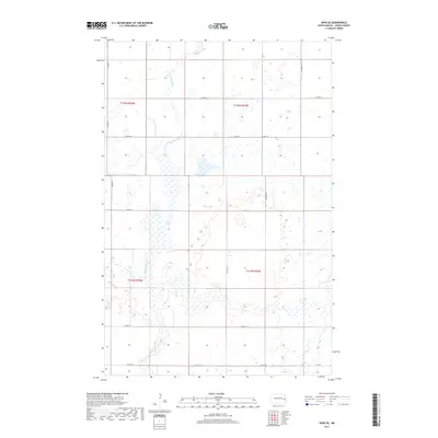
2017 Map of Hope SE
USGS Topo · Published 2017About this map
S Br Goose River and its meandering tributaries dominate this section of Steele County, where the landscape is defined by the complex water systems of the Red River Valley. The terrain is marked by the presence of Fullers Lake and the South Branch Goose River, which wind through the township boundaries of T145N and T144N. The mapping shows a strictly organized grid of sectional lines and rural roads, including Co Hwy 1 and Co Hwy 8, which serve as the primary conduits through this agricultural region. In the southeastern corner, the headwaters of the Elm River emerge, illustrating the subtle drainage patterns that characterize this part of North Dakota. This 2017 survey provides a precise look at the rural infrastructure and natural hydrology before further modern development or landscape shifts.
Find a feature on this map
17 named features on this map. Tap any name to fly to it.
Don’t see what you’re looking for? This feature index may not catch every label — zoom into the map to look around manually.
Map Details
Editions of this 2017 Hope SE Map
This is the sole edition of this map. No revisions or reprints were ever made.
Other maps of this area

1952 · Grand Forks
USGS Topo · 1:250,000

1956 · Grand Forks
USGS Topo · 1:250,000

1966 · Grand Forks
USGS Topo · 1:250,000

1966 · Galesburg
USGS Topo · 1:24,000

1966 · Hope SE
USGS Topo · 1:24,000

1967 · Ayr NW
USGS Topo · 1:24,000

1967 · Page
USGS Topo · 1:24,000

1967 · Colgate
USGS Topo · 1:24,000

1968 · Hope NE
USGS Topo · 1:24,000
1968 · Galesburg
USGS Topo · 1:24,000