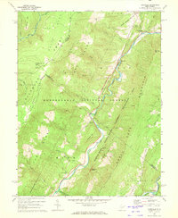
1969 Map of Hopeville
USGS Topo · Published 1973About this map
The South Branch Potomac River carves a deep path through this section of the Monongahela National Forest, defining the landscape of central Grant County in the late 1960s. The topography is dominated by the massive Allegheny Front and the North Fork Mountain, between which the river snakes past geological landmarks like Seneca Rocks and Champe Rocks. Local life is anchored by small settlements such as Hopeville and Shafter, with spiritual and community centers noted at North Fork Ch and Pleasant Valley Ch. The map highlights a transition into a more recreation-focused era, marking the Spruce Knob-Seneca Rocks National Recreation Area and Smoke Hole Caverns. Evidence of high-altitude life appears at the Dolly Sods Front, while the Bell Knob Lookout Tower stands watch over the surrounding ridges and hollows.
Find a feature on this map
55 named features on this map. Tap any name to fly to it.
Don’t see what you’re looking for? This feature index may not catch every label — zoom into the map to look around manually.
Map Details
Editions of this 1969 Hopeville Map
3 editions found
Other maps of this area

1892 · Franklin
USGS Topo · 1:125,000

1895 · Piedmont
USGS Topo · 1:125,000

1896 · Franklin
USGS Topo · 1:125,000

1916 · Davis
USGS Topo · 1:48,000

1918 · Davis
USGS Topo · 1:62,500

1919 · Davis
USGS Topo · 1:62,500

1920 · Davis
USGS Topo · 1:48,000

1920 · Petersburg
USGS Topo · 1:48,000

1920 · Onego
USGS Topo · 1:62,500

1921 · Petersburg
USGS Topo · 1:48,000