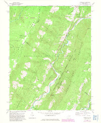
1969 Map of Hopeville
USGS Topo · Published 1982About this map
South Branch Potomac River and its North Fork dominate this 1960s landscape, where steep ridgelines converge at Hopeville Gap. The area represents a point of transition between the high, windswept plateau of the Dolly Sods Wilderness and the deep river valleys below. Evidence of early industry and community life is scattered throughout the mountains, from a mine near Front Ridge to the North Fork Ch and Pleasant Valley Ch. The map details a complex network of forest trails, including the Stonecoal Trail and Rohrbaugh Trail, winding through the Monongahela National Forest. Notable landmarks such as Smoke Hole Caverns and Chimney Top highlight the distinct geological character of this part of West Virginia, while isolated settlements like Shafter and Ketterman mark the valley floors.
Find a feature on this map
53 named features on this map. Tap any name to fly to it.
Don’t see what you’re looking for? This feature index may not catch every label — zoom into the map to look around manually.
Map Details
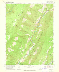
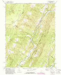
Editions of this 1969 Hopeville Map
3 editions found
Other maps of this area

1892 · Franklin
USGS Topo · 1:125,000

1895 · Piedmont
USGS Topo · 1:125,000

1896 · Franklin
USGS Topo · 1:125,000

1916 · Davis
USGS Topo · 1:48,000

1918 · Davis
USGS Topo · 1:62,500

1919 · Davis
USGS Topo · 1:62,500

1920 · Davis
USGS Topo · 1:48,000

1920 · Petersburg
USGS Topo · 1:48,000

1920 · Onego
USGS Topo · 1:62,500

1921 · Petersburg
USGS Topo · 1:48,000