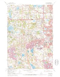
1967 Map of Hopkins
USGS Topo · Published 1973About this map
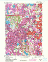
Lake Minnetonka and the upper reaches of Minnehaha Creek anchor this survey of western Hennepin County during a period of rapid suburban expansion. The transition from rural to residential is evident through the dense network of educational and institutional landmarks, including the Glen Lake State Sanatorium and specialized facilities like the County Boys Sch. The landscape is defined by its glacial hydrology, where numerous smaller basins like Birch Island Lake and Medicine Lake are surrounded by growing neighborhoods in Hopkins, Edina, and Plymouth. Early industrial and community focal points such as Minnetonka Mills stand alongside newer infrastructure, including the purple-tinted urban extensions that highlight the 1970s development push. Significant cultural and recreation sites, from the Talmud Torah Sch to the Interlachen Country Club, illustrate the diverse social fabric of the Twin Cities' western suburbs at this time.
Find a feature on this map
100 named features on this map. Tap any name to fly to it.
Don’t see what you’re looking for? This feature index may not catch every label — zoom into the map to look around manually.
Map Details
Editions of this 1967 Hopkins Map
5 editions found
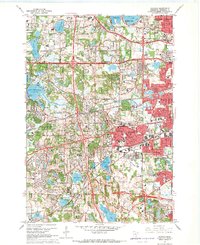
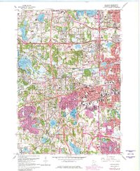
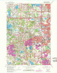
Other maps of this area

1896 · Minneapolis
USGS Topo · 1:62,500

1901 · Minneapolis
USGS Topo · 1:62,500

1902 · Anoka
USGS Topo · 1:62,500

1905 · Minnetonka
USGS Topo · 1:62,500

1907 · Minnetonka
USGS Topo · 1:62,500

1909 · Rockford
USGS Topo · 1:62,500

1952 · Minneapolis North
USGS Topo · 1:24,000

1952 · Minneapolis South
USGS Topo · 1:24,000

1953 · Saint Paul
USGS Topo · 1:250,000

1953 · Stillwater
USGS Topo · 1:250,000