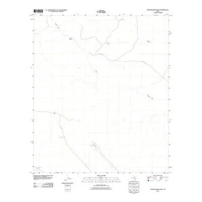
2010 Map of Hopper Draw West
USGS Topo · Published 2010About this map
The settlement of Ort anchors this western Texas landscape, where the management of water is the primary signature of human activity in the arid terrain. Water security for ranching or industry is marked by numerous reservoirs and pumping stations, including Sink Hole Tank, Jackson Tank, and Tank Number One. The reliance on local groundwater is further evidenced by landmarks like the Hopper Windmill and Red Windmill, which served as vital utility points in an area defined by wide-open cattle country and sparse infrastructure. Drainage patterns are dominated by Hopper Draw, which snakes through the northern and eastern portions of the quadrangle. Transportation is limited to a few arterial routes like Elcor-Toyah Rd and Foster Rd, highlighting the isolation of this corner of Culberson County during the early twenty-first century.
Find a feature on this map
15 named features on this map. Tap any name to fly to it.
Don’t see what you’re looking for? This feature index may not catch every label — zoom into the map to look around manually.
Map Details
Editions of this 2010 Hopper Draw West Map
This is the sole edition of this map. No revisions or reprints were ever made.
Other maps of this area
1928 · Kent
USGS Topo · 1:125,000
1954 · Van Horn
USGS Topo · 1:250,000
1958 · Van Horn
USGS Topo · 1:250,000
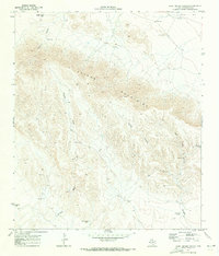
1970 · East Hunter Canyon
USGS Topo · 1:24,000
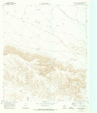
1970 · Panther Canyon
USGS Topo · 1:24,000
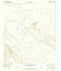
1970 · Iron Mountain
USGS Topo · 1:24,000
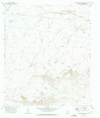
1973 · Dellahunt Draw West
USGS Topo · 1:24,000
1973 · Dome Hill
USGS Topo · 1:24,000
1973 · Dellahunt Draw East
USGS Topo · 1:24,000
1973 · Hopper Draw East
USGS Topo · 1:24,000