
1975 Map of Horicon NW
USGS Topo · Published 1977About this map
Horicon Marsh Wildlife Area dominates the northeastern corner of this 1975 orthophoto map, showcasing the intricate water patterns and vegetation of the vast wetland. This photographic survey reveals the mid-1970s agricultural and municipal landscape of Dodge County, where the geometric precision of farm fields contrasts sharply with the winding course of the Rock River. The settlement at Horicon is clearly visible along the river's edge, serving as a gateway to the marsh. To the west, the village of Minnesota Junction and the city of Juneau appear as clusters of development connected by a network of rural roads. This format provides an unfiltered view of land use, from the dense residential blocks in Juneau to the massive open-water expanses and conservation lands that define the local environment during this era.
Find a feature on this map
5 named features on this map. Tap any name to fly to it.
Don’t see what you’re looking for? This feature index may not catch every label — zoom into the map to look around manually.
Map Details
Editions of this 1975 Horicon NW Map
This is the sole edition of this map. No revisions or reprints were ever made.
Other maps of this area

1955 · Beaver Dam
USGS Topo · 1:62,500

1955 · Waupun
USGS Topo · 1:62,500

1955 · Fox Lake
USGS Topo · 1:62,500

1955 · Horicon
USGS Topo · 1:62,500

1957 · Madison
USGS Topo · 1:250,000

1960 · Madison
USGS Topo · 1:250,000

1975 · Beaver Dam NE
USGS Topo · 1:24,000
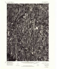
1975 · Horicon NE
USGS Topo · 1:24,000
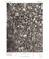
1975 · Waupun SE
USGS Topo · 1:24,000
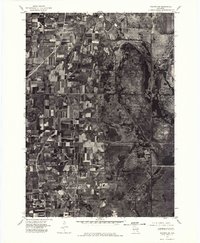
1975 · Waupun SW
USGS Topo · 1:24,000