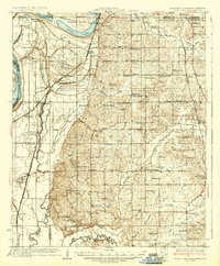
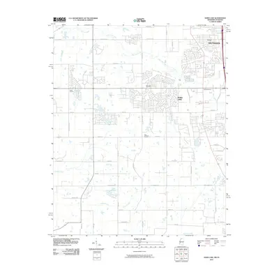
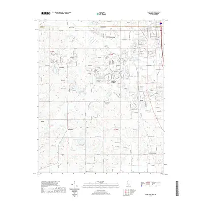
1935 Map of Horn Lake
USGS Topo · Published 1935About this map
Horn Lake and the surrounding river bottoms of De Soto County are defined here by a dense network of early 20th-century rural landmarks and drainage patterns. The landscape is dotted with dozens of country churches and schools, such as Glenn Chapel, Counts Chapel, and the Bullock Sch, which served as the cornerstones of local communities like Walls and Eudora. The Yazoo and Mississippi Valley Railroad cuts through the western lowlands, connecting the riverside landing of Norfolk to the interior, while Highway No 61 provides a primary north-south artery. The topography transitions from the alluvial plains near Lake Cormorant and Beaverdam Lake to the more dissected uplands drained by Hurricane Creek and Mussacuna Creek. The presence of the Chickasaw Base Line and numerous plantations and stores like Wilson Store and Robinson Gin reflect the deep agricultural roots and surveying history of the Mississippi-Tennessee border region.
Find a feature on this map
100 named features on this map. Tap any name to fly to it.
Don’t see what you’re looking for? This feature index may not catch every label — zoom into the map to look around manually.
Map Details
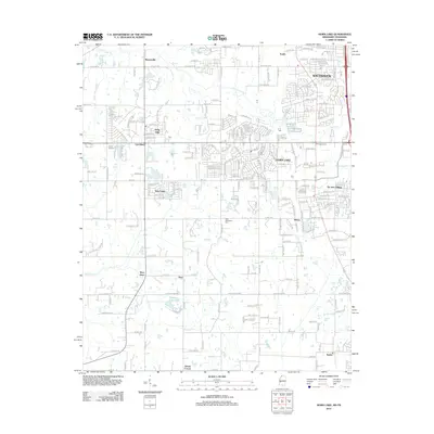
Editions of this 1935 Horn Lake Map
2 editions found
Historical Maps of Memphis Through Time
10 maps found

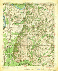
1932 Horn Lake
DeSoto County, MS
1935 Horn Lake
DeSoto County, MS
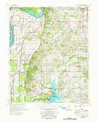
1961 Horn Lake
DeSoto County, MS
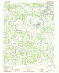
1982 Horn Lake
DeSoto County, MS
2010 Horn Lake
DeSoto County, MS
2012 Horn Lake
DeSoto County, MS
2015 Horn Lake
DeSoto County, MS
2018 Horn Lake
DeSoto County, MS
2020 Horn Lake
DeSoto County, MS
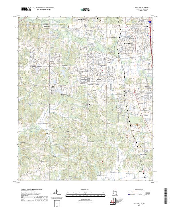
2024 Horn Lake
DeSoto County, MS