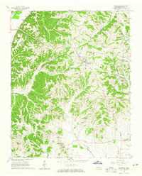
1964 Map of Hornbeak
USGS Topo · Published 1965About this map
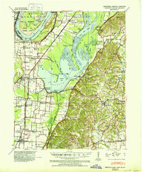
Hornbeak and its surrounding rural landscape in Obion County are defined by the winding tributaries that feed into the eastern reaches of Reelfoot Lake. During the mid-1960s, this area was a network of small farming communities and crossroads such as Lassiter Corner, Jacksonville, and Elbridge. The terrain is characterized by intricate drainage patterns like Clover Creek and Pawpaw Creek, which have carved deep hollows such as Glady Hollow into the loess bluffs. Local genealogy is well-represented through numerous family-named landmarks and country congregations, including Antioch Ch and Graves Chapel Cem. The inclusion of fine red dashed lines for selected fence and field lines provides an exceptionally rare level of detail for property researchers and those tracing the agricultural layout of West Tennessee before modern consolidation altered the landscape.
Find a feature on this map
46 named features on this map. Tap any name to fly to it.
Don’t see what you’re looking for? This feature index may not catch every label — zoom into the map to look around manually.
Map Details
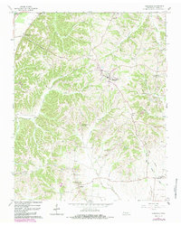
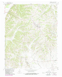
Editions of this 1964 Hornbeak Map
3 editions found
Other maps of this area
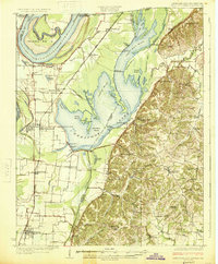
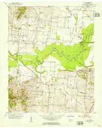
1925 · Reelfoot Lake
USGS Topo · 1:62,500
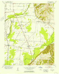
1939 · Reelfoot Lake
USGS Topo · 1:62,500
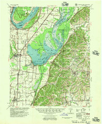
1939 · Dyersburg
USGS Topo · 1:62,500
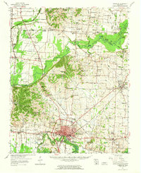
1950 · Obion
USGS Topo · 1:24,000
1951 · Obion
USGS Topo · 1:24,000
1952 · Lane
USGS Topo · 1:24,000
1952 · Miston
USGS Topo · 1:24,000
1956 · Reelfoot Lake
USGS Topo · 1:62,500

1956 · Dyersburg
USGS Topo · 1:250,000
1961 · Dyersburg
USGS Topo · 1:62,500