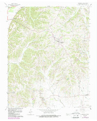
1964 Map of Hornbeak
USGS Topo · Published 1988About this map
Hornbeak sits at the center of this Obion County landscape, serving as a hub for the surrounding agricultural communities during the mid-1960s. The terrain is defined by a dense network of drainage systems feeding into the South Fork Reelfoot Creek and the eastern edge of Reelfoot Lake. Small settlements like Elbridge and Jacksonville are connected by winding country roads, many of which are punctuated by community landmarks such as New Chapel and Antioch Ch.
Find a feature on this map
37 named features on this map. Tap any name to fly to it.
Don’t see what you’re looking for? This feature index may not catch every label — zoom into the map to look around manually.
Map Details
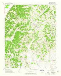
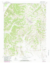
Editions of this 1964 Hornbeak Map
3 editions found
Other maps of this area

1925 · Reelfoot Lake
USGS Topo · 1:62,500

1939 · Reelfoot Lake
USGS Topo · 1:62,500

1939 · Dyersburg
USGS Topo · 1:62,500

1950 · Obion
USGS Topo · 1:24,000

1951 · Obion
USGS Topo · 1:24,000

1952 · Lane
USGS Topo · 1:24,000

1952 · Miston
USGS Topo · 1:24,000

1956 · Reelfoot Lake
USGS Topo · 1:62,500

1956 · Dyersburg
USGS Topo · 1:250,000
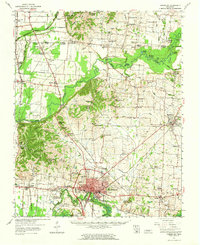
1961 · Dyersburg
USGS Topo · 1:62,500