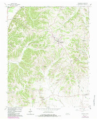
1964 Map of Hornbeak
USGS Topo · Published 1983About this map
Hornbeak and the surrounding Obion County landscape are defined by a dense network of creek valleys and small rural communities. The terrain transitions from the lowlands of Reelfoot Lake in the northwest corner into a dissected upland where numerous named hollows, such as Glady Hollow and Burnt Mill Hollow, shape the settlement patterns. Small hamlets like Lassiter Corner, Jacksonville, and Elbridge are connected by a web of light-duty roads, often centered around local landmarks like Antioch Ch or Oak Ridge Ch.
Find a feature on this map
39 named features on this map. Tap any name to fly to it.
Don’t see what you’re looking for? This feature index may not catch every label — zoom into the map to look around manually.
Map Details
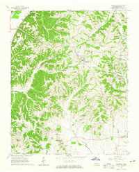
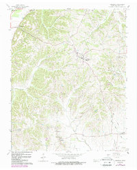
Editions of this 1964 Hornbeak Map
3 editions found
Other maps of this area

1925 · Reelfoot Lake
USGS Topo · 1:62,500

1939 · Reelfoot Lake
USGS Topo · 1:62,500

1939 · Dyersburg
USGS Topo · 1:62,500

1950 · Obion
USGS Topo · 1:24,000

1951 · Obion
USGS Topo · 1:24,000

1952 · Lane
USGS Topo · 1:24,000

1952 · Miston
USGS Topo · 1:24,000

1956 · Reelfoot Lake
USGS Topo · 1:62,500

1956 · Dyersburg
USGS Topo · 1:250,000
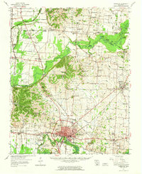
1961 · Dyersburg
USGS Topo · 1:62,500