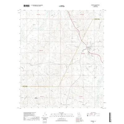
2018 Map of Hornbeck
USGS Topo · Published 2018About this map
Hornbeck serves as the primary hub of this landscape, situated near the boundary where Sabine Parish and Vernon Parish meet. The settlement is defined by a dense network of local streets including Stillwell Ave, Martin St, and Port Arthur Ave, surrounded by numerous smaller watercourses that drain the region. To the northwest, Saint Lukes Cem sits near the banks of Bayou Toro, while further south, the map identifies the area of Monks Hammock. The terrain is deeply etched by a complex drainage system featuring Devils Lake and the branching waters of Elder Br and Brushy Cr. Historically significant naming is evident in local thoroughfares like Old Gristmill Rd, hinting at the former mill sites that once populated the creek banks of this Louisiana interior. The rural sections are dotted with family and community burial grounds such as Beckham Cem and Pleasant View Cem, providing valuable anchors for local genealogical research.
Find a feature on this map
82 named features on this map. Tap any name to fly to it.
Don’t see what you’re looking for? This feature index may not catch every label — zoom into the map to look around manually.
Map Details
Editions of this 2018 Hornbeck Map
This is the sole edition of this map. No revisions or reprints were ever made.
Other maps of this area

1941 · Leesville
USGS Topo · 1:62,500

1942 · Florien
USGS Topo · 1:62,500

1943 · Leesville
USGS Topo · 1:62,500

1944 · Negreet
USGS Topo · 1:62,500

1944 · Wiergate
USGS Topo · 1:62,500

1944 · Florien
USGS Topo · 1:62,500

1946 · Leesville
USGS Topo · 1:62,500

1948 · Leesville
USGS Topo · 1:62,500

1948 · Wiergate
USGS Topo · 1:62,500

1953 · Alexandria
USGS Topo · 1:250,000