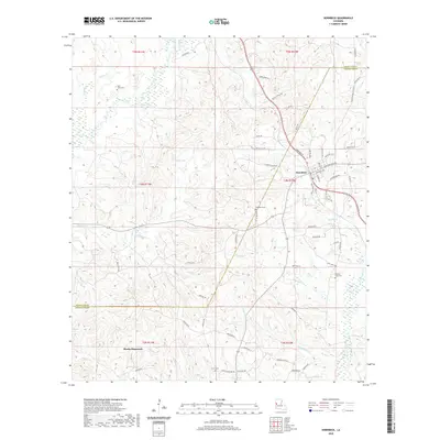
2020 Map of Hornbeck
USGS Topo · Published 2020About this map
Hornbeck sits as the central hub of this West Louisiana landscape, positioned just above the Sabine Parish and Vernon Parish line. The town's residential grid is intersected by Port Arthur Ave and Stillwell Ave, with a network of local thoroughfares like Old Gristmill Rd and Tincan Aly extending into the surrounding piney woods and wetlands. To the south, the settlement at Monks Hammock provides a secondary focal point for local history researchers.
Find a feature on this map
73 named features on this map. Tap any name to fly to it.
Don’t see what you’re looking for? This feature index may not catch every label — zoom into the map to look around manually.
Map Details
Editions of this 2020 Hornbeck Map
This is the sole edition of this map. No revisions or reprints were ever made.
Other maps of this area

1941 · Leesville
USGS Topo · 1:62,500

1942 · Florien
USGS Topo · 1:62,500

1943 · Leesville
USGS Topo · 1:62,500

1944 · Negreet
USGS Topo · 1:62,500

1944 · Wiergate
USGS Topo · 1:62,500

1944 · Florien
USGS Topo · 1:62,500

1946 · Leesville
USGS Topo · 1:62,500

1948 · Leesville
USGS Topo · 1:62,500

1948 · Wiergate
USGS Topo · 1:62,500

1953 · Alexandria
USGS Topo · 1:250,000