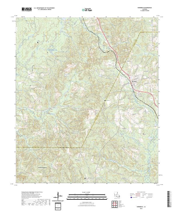
2024 Map of Hornbeck
USGS Topo · Published 2024About this map
Hornbeck sits as the primary settlement on this modern survey of the Sabine and Vernon Parish line. The landscape is characterized by a dense network of tributaries including Bayou Toro and West Anacoco Creek, with small settlements like Monks Hammock and family-named landmarks providing insight into the area's social history. A legacy of early rural industry is suggested by Old Gristmill Rd in the north, while modern infrastructure is represented by Valley Electric Rd. Local genealogists will find significant value in the distribution of rural burial grounds, such as Saint Lukes Cem in the northwest and Beckom Cem near the center, which remain anchored in the timber-rich hillsides. The western portion is notably less developed, dominated by winding branches like Sip Branch and Viddfer Branch, illustrating the persistent rural character of the Louisiana-Texas borderlands.
Find a feature on this map
72 named features on this map. Tap any name to fly to it.
Don’t see what you’re looking for? This feature index may not catch every label — zoom into the map to look around manually.
Map Details
Editions of this 2024 Hornbeck Map
This is the sole edition of this map. No revisions or reprints were ever made.
Other maps of this area

1941 · Leesville
USGS Topo · 1:62,500

1942 · Florien
USGS Topo · 1:62,500

1943 · Leesville
USGS Topo · 1:62,500

1944 · Negreet
USGS Topo · 1:62,500

1944 · Wiergate
USGS Topo · 1:62,500

1944 · Florien
USGS Topo · 1:62,500

1946 · Leesville
USGS Topo · 1:62,500

1948 · Leesville
USGS Topo · 1:62,500

1948 · Wiergate
USGS Topo · 1:62,500

1953 · Alexandria
USGS Topo · 1:250,000