Loading...
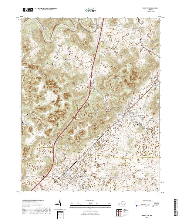
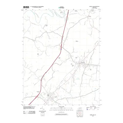
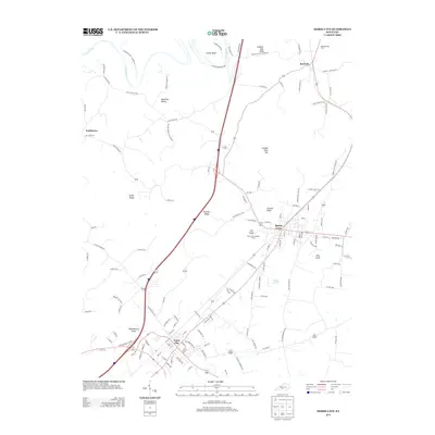
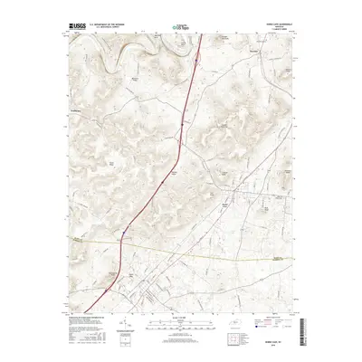
Loading map...2022 Map of Horse Cave
USGS Topo · Published 2022About this map
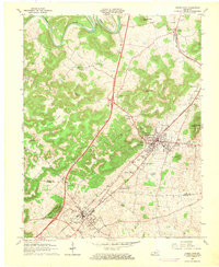
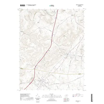
Horse Cave and Cave City anchor this landscape along the border of Hart and Barren counties. The terrain is characterized by a high density of sinkholes and karst features, most notably London Pace Sink and the steep knobs like Summer Seat Knob and Pine Knob. The Green River carves deep loops at Mansfield Bend and Lawler Bend in the north, creating a dramatic topographical contrast to the more developed southern corridor.
Find a feature on this map
139 named features on this map. Tap any name to fly to it.
Don’t see what you’re looking for? This feature index may not catch every label — zoom into the map to look around manually.
Map Details
Date Portrayed2022
Date Published2022
PublisherU.S. Geological Survey
Map TypeTopographic
Scale1:24,000
Physical Dimensions24 x 29 inches
Editions of this 2022 Horse Cave Map
This is the sole edition of this map. No revisions or reprints were ever made.
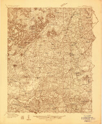
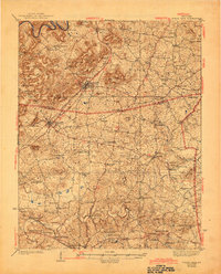
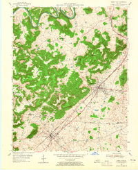
Historical Maps of Cave City Through Time
9 maps found
Featured Locations
Source Details
SourceU.S. Geological Survey
CopyrightPublic Domain