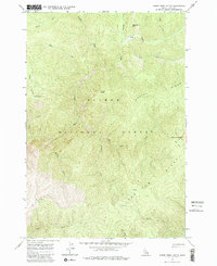
1962 Map of Horse Creek Butte
USGS Topo · Published 1983About this map
Gattin Ranch sits in the northern reaches of this mid-century survey, a solitary mark of habitation within the high-elevation terrain of the Salmon National Forest. The landscape is defined by the heavy drainage patterns of Cayuse Creek and Horse Creek, which flow through steep canyons carved between prominent formations like Oreana Ridge and Long Tom Ridge. These ridges served as natural corridors for movement, as evidenced by the Jeep Trail that climbs toward the peak of Horse Creek Butte.
Find a feature on this map
26 named features on this map. Tap any name to fly to it.
Don’t see what you’re looking for? This feature index may not catch every label — zoom into the map to look around manually.
Map Details
Editions of this 1962 Horse Creek Butte Map
2 editions found
Other maps of this area

1956 · Elk City
USGS Topo · 1:250,000

1960 · Elk City
USGS Topo · 1:250,000

1960 · Painted Rocks Lake
USGS Topo · 1:62,500

1960 · Shoup
USGS Topo · 1:62,500

1962 · Wood Hump
USGS Topo · 1:24,000

1962 · Blue Joint
USGS Topo · 1:24,000

1962 · Square Top
USGS Topo · 1:24,000

1962 · Long Tom Mtn
USGS Topo · 1:24,000

1962 · Horse Creek Butte
USGS Topo · 1:24,000

1962 · Butts Creek Point
USGS Topo · 1:24,000