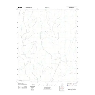
2012 Map of Horse Creek South
USGS Topo · Published 2012About this map
Horse Cr and its tributaries carve a network of drainage patterns across this portion of Roberts County, reflecting the arid, ranch-focused landscape of the Texas Panhandle. The map reveals a territory primarily organized around large-scale landholdings, where infrastructure is defined by isolated access points like Payne Ranch Rd and Ranch Road 283. The scarcity of named settlements or civic centers suggests a region dedicated to livestock and open range, where the primary landmarks are the seasonal watercourses such as Three Corrals Cr and Horse Ranch Cr. These features, alongside Rankin Rd and Quarter Horse Rd, illustrate the sparse but vital transport network used by local ranchers to navigate the vast distances between pastoral operations during the early twenty-first century.
Find a feature on this map
8 named features on this map. Tap any name to fly to it.
Don’t see what you’re looking for? This feature index may not catch every label — zoom into the map to look around manually.
Map Details
Editions of this 2012 Horse Creek South Map
This is the sole edition of this map. No revisions or reprints were ever made.
Other maps of this area

1954 · Amarillo
USGS Topo · 1:250,000

1958 · Amarillo
USGS Topo · 1:250,000

1967 · Lora
USGS Topo · 1:24,000

1971 · Dry Creek SE
USGS Topo · 1:24,000

1971 · Dry Creek NE
USGS Topo · 1:24,000

1972 · Washburn Arroyo
USGS Topo · 1:24,000

1972 · Horse Creek North
USGS Topo · 1:24,000

1972 · East Dry Creek
USGS Topo · 1:24,000

1972 · Pampa NE
USGS Topo · 1:24,000

1972 · Miami
USGS Topo · 1:24,000