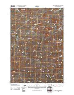
2011 Map of Horse Heaven Creek
USGS Topo · Published 2011About this map
Horseheaven and the smaller settlement of Kilts anchor this high-elevation landscape in Jefferson County, defined by a complex network of drainages and prominent buttes. The topography is marked by significant features like Horse Heaven Mountain and the distinct volcanic profiles of Hinkle Butte, Kaser Butte, and Sugarloaf Butte. Water sources are critical in this arid terrain, with Mays Reservoir in the northeast and several named springs including Sand Spring, Box Springs, and Buttercup Spring providing vital points for livestock and wildlife.
Find a feature on this map
35 named features on this map. Tap any name to fly to it.
Don’t see what you’re looking for? This feature index may not catch every label — zoom into the map to look around manually.
Map Details
Editions of this 2011 Horse Heaven Creek Map
This is the sole edition of this map. No revisions or reprints were ever made.
Other maps of this area

1926 · Mitchell
USGS Topo · 1:125,000

1955 · Bend
USGS Topo · 1:250,000

1957 · Bend
USGS Topo · 1:250,000

1958 · Bend
USGS Topo · 1:250,000

1966 · Antelope
USGS Topo · 1:62,500

1966 · Clarno
USGS Topo · 1:62,500

1968 · Horse Heaven Creek
USGS Topo · 1:24,000

1968 · Axehandle Butte
USGS Topo · 1:24,000

1968 · Dutchman Creek
USGS Topo · 1:24,000

1968 · Stephenson Mtn
USGS Topo · 1:24,000