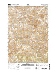
2014 Map of Horse Heaven Creek
USGS Topo · Published 2014About this map
Horseheaven and Kilts anchor this portion of Jefferson County, Oregon, where the landscape is defined by an intricate network of buttes and high ridges. The drainages of Horse Heaven Creek and Little Muddy Cr carve through the high desert terrain, leading toward significant landmarks like Horse Heaven Mtn and Axehandle Ridge. This 2014 survey documents the complex topography of the region, from the seasonal flow of Dry Cr and Amity Cr to the permanent water source at Mays Reservoir. The mapping reveals a history of land use and navigation through named landmarks such as Ironside Butte, Sugarloaf Butte, and Box Springs Butte. Local-history enthusiasts can trace the early transit routes through First Pines Hollow and Hawley Canyon, providing a clear look at the geological and cultural markers of this high-elevation territory.
Find a feature on this map
42 named features on this map. Tap any name to fly to it.
Don’t see what you’re looking for? This feature index may not catch every label — zoom into the map to look around manually.
Map Details
Editions of this 2014 Horse Heaven Creek Map
This is the sole edition of this map. No revisions or reprints were ever made.
Other maps of this area

1926 · Mitchell
USGS Topo · 1:125,000

1955 · Bend
USGS Topo · 1:250,000

1957 · Bend
USGS Topo · 1:250,000

1958 · Bend
USGS Topo · 1:250,000

1966 · Antelope
USGS Topo · 1:62,500

1966 · Clarno
USGS Topo · 1:62,500

1968 · Horse Heaven Creek
USGS Topo · 1:24,000

1968 · Axehandle Butte
USGS Topo · 1:24,000

1968 · Dutchman Creek
USGS Topo · 1:24,000

1968 · Stephenson Mtn
USGS Topo · 1:24,000