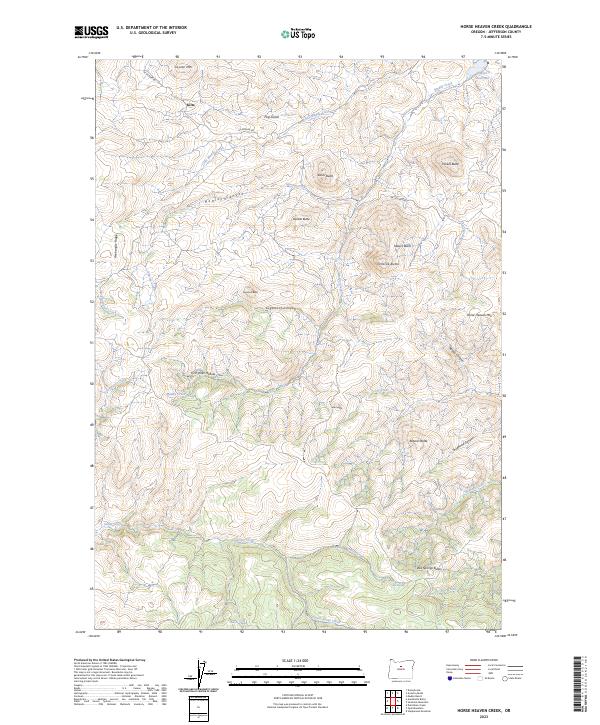
2023 Map of Horse Heaven Creek
USGS Topo · Published 2023About this map
Kilts sits at the northern edge of a landscape defined by deep canyons and prominent volcanic peaks in this modern survey. The terrain is marked by steep ridges like Axehandle Ridge and the heights of Coyote Mtn, which overlook a complex network of seasonal drainages. Water sources are critical identifiers in this part of Jefferson County, with features like Sand Spring, Box Springs, and Buttercup Spring providing fixed points in the arid environment. The map details the significant topographic rise of Horse Heaven Mtn and the namesake Horse Heaven Creek, reflecting the area's geological character.
Find a feature on this map
40 named features on this map. Tap any name to fly to it.
Don’t see what you’re looking for? This feature index may not catch every label — zoom into the map to look around manually.
Map Details
Editions of this 2023 Horse Heaven Creek Map
This is the sole edition of this map. No revisions or reprints were ever made.
Other maps of this area

1926 · Mitchell
USGS Topo · 1:125,000

1955 · Bend
USGS Topo · 1:250,000

1957 · Bend
USGS Topo · 1:250,000

1958 · Bend
USGS Topo · 1:250,000

1966 · Antelope
USGS Topo · 1:62,500

1966 · Clarno
USGS Topo · 1:62,500

1968 · Horse Heaven Creek
USGS Topo · 1:24,000

1968 · Axehandle Butte
USGS Topo · 1:24,000

1968 · Dutchman Creek
USGS Topo · 1:24,000

1968 · Stephenson Mtn
USGS Topo · 1:24,000