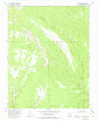
1968 Map of Horse Mtn
USGS Topo · Published 1978About this map
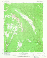
Horse Mountain dominates this remote landscape within the Utah canyonlands, characterized by a series of prominent plateaus and deep drainage systems. The survey reveals a terrain defined by expansive level areas like Paradise Bench, Squaw Bench, and Fourmile Bench, which overlook the complex network of Escalante Canyon and Paradise Canyon.
Find a feature on this map
14 named features on this map. Tap any name to fly to it.
Don’t see what you’re looking for? This feature index may not catch every label — zoom into the map to look around manually.
Map Details
Editions of this 1968 Horse Mtn Map
2 editions found
Other maps of this area

1886 · Escalante
USGS Topo · 1:250,000

1922 · Upper Last Chance
USGS Topo · 1:63,360

1956 · Escalante
USGS Topo · 1:250,000

1960 · Escalante
USGS Topo · 1:250,000

1964 · Horse Flat
USGS Topo · 1:24,000

1964 · Canaan Peak
USGS Topo · 1:24,000

1964 · Death Ridge
USGS Topo · 1:24,000

1964 · Carcass Canyon
USGS Topo · 1:24,000
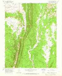
1964 · Butler Valley
USGS Topo · 1:24,000

1968 · Fourmile Bench
USGS Topo · 1:24,000