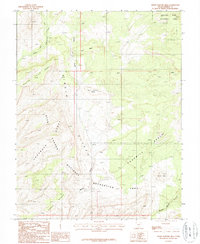
1987 Map of Horse Pasture Mesa
USGS Topo · Published 1987About this map
Capitol Reef National Park and the Glen Canyon National Recreation Area converge in this high-desert landscape, dominated by massive plateaus and deeply incised drainages. The Circle Cliffs form a dramatic geological backdrop, framing a series of distinct levels including Horse Pasture Mesa and Colt Mesa. These elevated benches are separated by complex canyon systems like Choprock Canyon and the winding course of Moody Creek.
Find a feature on this map
17 named features on this map. Tap any name to fly to it.
Don’t see what you’re looking for? This feature index may not catch every label — zoom into the map to look around manually.
Map Details
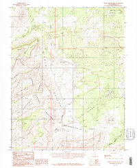
Editions of this 1987 Horse Pasture Mesa Map
2 editions found
Other maps of this area

1886 · Escalante
USGS Topo · 1:250,000

1886 · Henry Mountains
USGS Topo · 1:250,000

1892 · Henry Mountains
USGS Topo · 1:250,000

1953 · Mt Pennell
USGS Topo · 1:62,500

1953 · Circle Cliffs 1 SE
USGS Topo · 1:24,000

1953 · Circle Cliffs 4 NW
USGS Topo · 1:24,000

1953 · Circle Cliffs 1 SW
USGS Topo · 1:24,000

1953 · Mt Pennell 3 NW
USGS Topo · 1:24,000

1953 · Mt Pennell 3 SW
USGS Topo · 1:24,000

1953 · Mt Pennell 2 SW
USGS Topo · 1:24,000