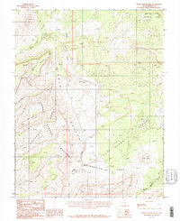
1987 Map of Horse Pasture Mesa
USGS Topo · Published 1987About this map
Capitol Reef National Park and the northern reaches of the Glen Canyon National Recreation Area converge in this high-desert landscape, dominated by the formidable staircase of the Circle Cliffs. The topography is defined by massive plateaus and deep drainage systems, including the namesake Horse Pasture Mesa and the expansive Silver Falls Bench. The presence of a Prospect and several Prospects near Colt Mesa, along with an Adit, suggests a period of exploratory mineral interest in the mid-20th century. Moody Creek and its various branches, such as Middle Moody Canyon, have carved intricate paths through the Choprock Canyon and along the Purple Hills, illustrating a complex erosional environment. This 1987 provisional survey documents the intersection of protected federal lands and the legacy of small-scale mining efforts in Garfield County.
Find a feature on this map
16 named features on this map. Tap any name to fly to it.
Don’t see what you’re looking for? This feature index may not catch every label — zoom into the map to look around manually.
Map Details
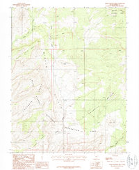
Editions of this 1987 Horse Pasture Mesa Map
2 editions found
Other maps of this area

1886 · Escalante
USGS Topo · 1:250,000

1886 · Henry Mountains
USGS Topo · 1:250,000

1892 · Henry Mountains
USGS Topo · 1:250,000

1953 · Mt Pennell
USGS Topo · 1:62,500

1953 · Circle Cliffs 1 SE
USGS Topo · 1:24,000

1953 · Circle Cliffs 4 NW
USGS Topo · 1:24,000

1953 · Circle Cliffs 1 SW
USGS Topo · 1:24,000

1953 · Mt Pennell 3 NW
USGS Topo · 1:24,000

1953 · Mt Pennell 3 SW
USGS Topo · 1:24,000

1953 · Mt Pennell 2 SW
USGS Topo · 1:24,000