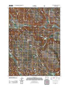
2011 Map of Horse Prairie
USGS Topo · Published 2011About this map
Summit Prairie and Horse Prairie dominate this Lake County landscape, a region defined by high-elevation meadows and cattle-ranching operations. Ranching life is anchored by family-named sites like Hickey Ranch and Moss Ranch, with the former featuring Hickey Dam and Hickey Reservoir to manage water for livestock in this semi-arid environment. The hydrology of the area is intricate, with Horse Creek, Camas Creek, and Burnt Creek draining the flats, while Harmon Spring and Parallel Spring provide critical year-round water sources.
Find a feature on this map
25 named features on this map. Tap any name to fly to it.
Don’t see what you’re looking for? This feature index may not catch every label — zoom into the map to look around manually.
Map Details
Editions of this 2011 Horse Prairie Map
This is the sole edition of this map. No revisions or reprints were ever made.
Other maps of this area

1955 · Klamath Falls
USGS Topo · 1:250,000

1958 · Klamath Falls
USGS Topo · 1:250,000

1964 · Lakeview NE
USGS Topo · 1:24,000

1964 · Crooked Creek Valley
USGS Topo · 1:24,000
1964 · Crane Creek
USGS Topo · 1:24,000
1968 · Sage Hen Butte
USGS Topo · 1:24,000

1968 · Crook Peak
USGS Topo · 1:24,000
1968 · Horse Prairie
USGS Topo · 1:24,000
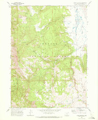
1968 · Crane Mountain
USGS Topo · 1:24,000
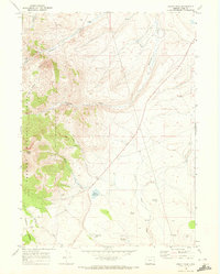
1968 · Drake Peak
USGS Topo · 1:24,000