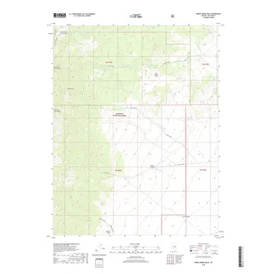
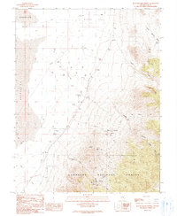
2018 Map of Horse Spring Hills
USGS Topo · Published 2018About this map
The Grant Range and Horse Spring Hills dominate this high-desert topography within the eastern portion of the Humboldt National Forest. This 2018 survey reveals a landscape defined by its vital water sources, including Big Spring, Wiregrass Spring, and Murphy Spring, which are scattered among the ridges and washes. The presence of numerous named springs suggests their continued importance for local ecology and navigation in this arid region.
Find a feature on this map
33 named features on this map. Tap any name to fly to it.
Don’t see what you’re looking for? This feature index may not catch every label — zoom into the map to look around manually.
Map Details
Editions of this 2018 Horse Spring Hills Map
This is the sole edition of this map. No revisions or reprints were ever made.
Other maps of this area

1956 · Lund
USGS Topo · 1:250,000

1960 · Lund
USGS Topo · 1:250,000

1964 · Troy Canyon
USGS Topo · 1:62,500

1964 · Forest Home
USGS Topo · 1:62,500

1985 · Adaven
USGS Topo · 1:24,000
1985 · Water Gap NW
USGS Topo · 1:24,000
1985 · Water Gap NE
USGS Topo · 1:24,000

1988 · Quinn Canyon Range
USGS Topo · 1:100,000
1990 · Troy Canyon
USGS Topo · 1:24,000
1990 · Bullwhacker Springs
USGS Topo · 1:24,000