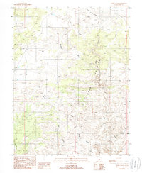
1988 Map of Horse Valley
USGS Topo · Published 1988About this map
Sinbad Country dominates this 1980s landscape, a region defined by complex drainage systems and high plateaus. The topography is marked by deep incisions such as Little Wild Horse Canyon and Chute Canyon, which carve through the arid terrain of Emery County. Broad, high-elevation surfaces like Mckay Flat and Taylor Flat provide a stark contrast to the narrow, winding corridors of Bell Canyon and Cistern Canyon.
Find a feature on this map
12 named features on this map. Tap any name to fly to it.
Don’t see what you’re looking for? This feature index may not catch every label — zoom into the map to look around manually.
Map Details
Editions of this 1988 Horse Valley Map
2 editions found
Other maps of this area

1885 · San Rafael
USGS Topo · 1:250,000

1952 · Wild Horse
USGS Topo · 1:62,500

1952 · San Rafael Knob
USGS Topo · 1:62,500

1953 · Stinking Spring Creek 2 SE
USGS Topo · 1:24,000

1953 · Temple Mtn
USGS Topo · 1:62,500

1954 · Stinking Springs Creek 4 SW
USGS Topo · 1:24,000

1954 · Stinking Spring Creek 3 NW
USGS Topo · 1:24,000

1954 · Stinking Spring Creek 3 SE
USGS Topo · 1:24,000

1954 · Stinking Spring Creek 4 NW
USGS Topo · 1:24,000

1954 · Stinking Spring Creek 2 SW
USGS Topo · 1:24,000