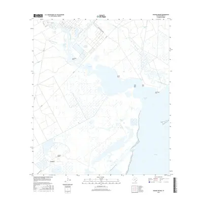
2016 Map of Hoskins Mound
USGS Topo · Published 2016About this map
Hoskins Mound rises above the low-lying coastal marshes of Brazoria County, providing a high point near the small settlement of Hoskins. This coastal landscape is defined by its complex hydrology and industrial infrastructure, notably the large Amoco Chemical Company facility and the nearby Amoco Chemicals Reservoir. The map illustrates a labyrinth of tidal channels including Chocolate Bayou, New Bayou, and Wharton Bayou, which feed into the broader waters of Chocolate Bay and West Bay.
Find a feature on this map
27 named features on this map. Tap any name to fly to it.
Don’t see what you’re looking for? This feature index may not catch every label — zoom into the map to look around manually.
Map Details
Editions of this 2016 Hoskins Mound Map
This is the sole edition of this map. No revisions or reprints were ever made.
Other maps of this area

1929 · Karankawa Lake
USGS Topo · 1:24,000

1929 · Hitchcock
USGS Topo · 1:24,000

1932 · Hitchcock
USGS Topo · 1:31,680

1932 · Mustang Bayou
USGS Topo · 1:31,680

1933 · Karankawa Lake
USGS Topo · 1:31,680

1933 · San Luis Pass
USGS Topo · 1:31,680

1943 · San Luis Pass
USGS Topo · 1:31,680

1943 · Oyster Creek
USGS Topo · 1:31,680

1943 · Danbury
USGS Topo · 1:31,680

1943 · Mustang Bayou
USGS Topo · 1:31,680