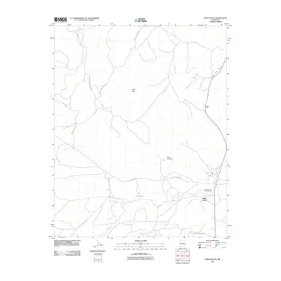
2010 Map of Hosta Butte
USGS Topo · Published 2010About this map
Hosta Butte rises as a prominent landmark in this section of the Eastern Navajo Agency during the first decade of the 21st century. The landscape is defined by the high-elevation drainage of the Puerco River and the significant geographic passage at Satan Pass. This map illustrates a complex network of Bureau of Indian Affairs roads, including Navajo Service Route 49 and various Indian Service Routes that connect isolated points of interest. Notable industrial activity is centered at the Black Jack Mine Number One, while water management is evidenced by the Childers Smith Reservoir Dam near the settlement of Hall. The distribution of Smith Lake and House Lake against the arid canyon terrain of Satan Pass Canyon highlights the critical role of water resources in this high-desert environment.
Find a feature on this map
16 named features on this map. Tap any name to fly to it.
Don’t see what you’re looking for? This feature index may not catch every label — zoom into the map to look around manually.
Map Details
Editions of this 2010 Hosta Butte Map
This is the sole edition of this map. No revisions or reprints were ever made.
Other maps of this area

1886 · Wingate
USGS Topo · 1:250,000

1892 · Wingate
USGS Topo · 1:250,000

1954 · Gallup
USGS Topo · 1:250,000

1958 · Gallup
USGS Topo · 1:250,000

1959 · Gallup
USGS Topo · 1:250,000

1962 · Gallup
USGS Topo · 1:250,000

1962 · Continental Divide
USGS Topo · 1:24,000
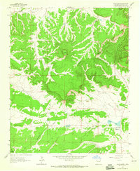
1963 · Hosta Butte
USGS Topo · 1:24,000
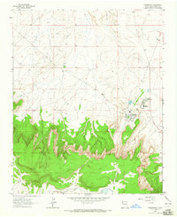
1963 · Crownpoint
USGS Topo · 1:24,000
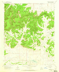
1963 · Casamero Lake
USGS Topo · 1:24,000
Featured Places
- Eastern Navajo Agency, NM
- Smith Lake, Eastern Navajo Agency
- McKinley County, NM
- United States
- New Mexico