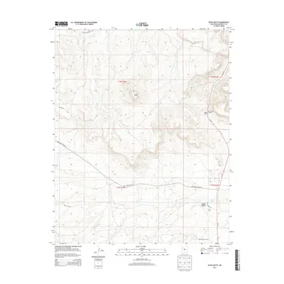
2013 Map of Hosta Butte
USGS Topo · Published 2013About this map
Hosta Butte dominates this high-altitude landscape in the Eastern Navajo Agency, standing as a prominent landmark over a network of canyon roads and seasonal drainages. In the southeast, the settlement of Smith Lake serves as a local hub near its namesake water body, where NM-371 and Smith Lake Dr converge. The map documents an area defined by significant elevation changes, particularly around Satan Pass and the drainage of the Puerco River in the north. This 2013 survey illustrates the modern transportation infrastructure of the Navajo Nation, tracing specialized routes such as Navajo Service Route 49 and Indian Service Route 7052 as they navigate the plateau terrain near Top Mesa Rd and Wolf Canyon Rd.
Find a feature on this map
17 named features on this map. Tap any name to fly to it.
Don’t see what you’re looking for? This feature index may not catch every label — zoom into the map to look around manually.
Map Details
Editions of this 2013 Hosta Butte Map
This is the sole edition of this map. No revisions or reprints were ever made.
Other maps of this area

1886 · Wingate
USGS Topo · 1:250,000

1892 · Wingate
USGS Topo · 1:250,000

1954 · Gallup
USGS Topo · 1:250,000

1958 · Gallup
USGS Topo · 1:250,000

1959 · Gallup
USGS Topo · 1:250,000

1962 · Gallup
USGS Topo · 1:250,000

1962 · Continental Divide
USGS Topo · 1:24,000
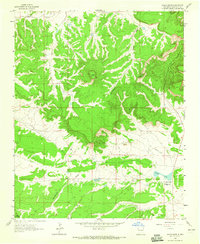
1963 · Hosta Butte
USGS Topo · 1:24,000
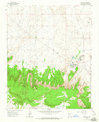
1963 · Crownpoint
USGS Topo · 1:24,000
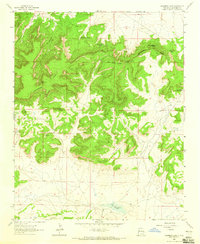
1963 · Casamero Lake
USGS Topo · 1:24,000
Featured Places
- Eastern Navajo Agency, NM
- Smith Lake, Eastern Navajo Agency
- McKinley County, NM
- United States
- New Mexico