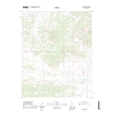
2023 Map of Hosta Butte
USGS Topo · Published 2023About this map
Hosta Butte stands as a prominent landmark in this high-altitude landscape within McKinley County. The settlement at Smith Lake provides a central hub for the region, situated near the intersection of several tribal and service routes. The mapping reveals a complex network of transportation, including Navajo Svc Rte 49, BIA Rte 49, and Indian Svc Rte 491, which navigate the various mesas and canyons. Water sources are scarce but critical, marked by House Lake and the drainage of the Puerco River to the north. Further east, the terrain is defined by the sharp descent of Satan Pass and the winding Satan Pass Canyon. This 2023 survey illustrates the modern infrastructure of the Navajo Nation, where roads like Top Mesa Rd and Yellow Mesa Rd track across the high plateaus between deep canyon systems.
Find a feature on this map
22 named features on this map. Tap any name to fly to it.
Don’t see what you’re looking for? This feature index may not catch every label — zoom into the map to look around manually.
Map Details
Editions of this 2023 Hosta Butte Map
This is the sole edition of this map. No revisions or reprints were ever made.
Other maps of this area

1886 · Wingate
USGS Topo · 1:250,000

1892 · Wingate
USGS Topo · 1:250,000

1954 · Gallup
USGS Topo · 1:250,000

1958 · Gallup
USGS Topo · 1:250,000

1959 · Gallup
USGS Topo · 1:250,000

1962 · Gallup
USGS Topo · 1:250,000

1962 · Continental Divide
USGS Topo · 1:24,000
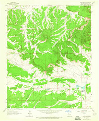
1963 · Hosta Butte
USGS Topo · 1:24,000
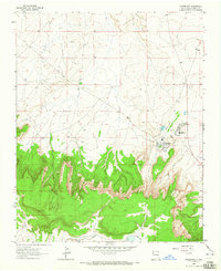
1963 · Crownpoint
USGS Topo · 1:24,000
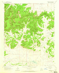
1963 · Casamero Lake
USGS Topo · 1:24,000
Featured Places
- Eastern Navajo Agency, NM
- Smith Lake, Eastern Navajo Agency
- McKinley County, NM
- United States
- New Mexico