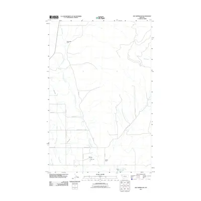
2011 Map of Hot Springs NE
USGS Topo · Published 2011About this map
Wildhorse Hot Springs centers a landscape defined by geothermal activity and a complex network of agricultural water management in Lake County. The Little Bitterroot River meanders through the central valley, flanked by a grid of rural roads including Garden Creek Rd and Baxter Rd that reveal the 21st-century settlement patterns of this Montana region. The intersection of natural watercourses like Sullivan Creek and human-engineered features such as the Camas B Canal illustrates the ongoing importance of irrigation in the local economy. From the depths of Rattlesnake Gulch to the controlled waters behind Marine Dam and Aqua Dam, the map documents a terrain where drainage and storage are critical to land use. Notable landmarks and local family-named routes like Sederstrom and Marques Rd provide valuable waypoints for researchers studying the geographic heritage of the Hot Springs area.
Find a feature on this map
23 named features on this map. Tap any name to fly to it.
Don’t see what you’re looking for? This feature index may not catch every label — zoom into the map to look around manually.
Map Details
Editions of this 2011 Hot Springs NE Map
This is the sole edition of this map. No revisions or reprints were ever made.
Other maps of this area

1920 · Flathead Lake
USGS Topo · 1:125,000

1956 · Wallace
USGS Topo · 1:250,000

1960 · Wallace
USGS Topo · 1:250,000

1964 · Irvine Lookout Tower
USGS Topo · 1:24,000

1964 · Mill Pocket Creek
USGS Topo · 1:24,000

1964 · Markle Pass
USGS Topo · 1:24,000

1964 · Lonepine
USGS Topo · 1:24,000

1964 · Hot Springs
USGS Topo · 1:24,000
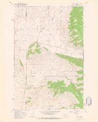
1964 · Niarada
USGS Topo · 1:24,000
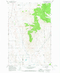
1964 · Hot Springs NE
USGS Topo · 1:24,000