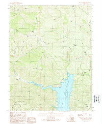
1989 Map of Hough Springs
USGS Topo · Published 1989About this map
Hough Springs serves as a focal point for this rugged terrain in the northern Coast Ranges, where the boundary between Colusa and Lake counties traverses high ridges. The landscape is defined by the significant footprint of the Indian Valley Reservoir, which captures the waters of North Fork Cache Creek. This mid-century view, updated in the late 1980s, highlights a network of water sources essential to the region, including Bear Wallow Spring, Stanton Spring, and Ford Spring.
Find a feature on this map
46 named features on this map. Tap any name to fly to it.
Don’t see what you’re looking for? This feature index may not catch every label — zoom into the map to look around manually.
Map Details
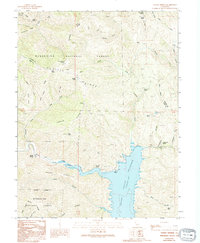
Editions of this 1989 Hough Springs Map
2 editions found
Other maps of this area

1920 · Venado
USGS Topo · 1:62,500

1924 · Bartlett Springs
USGS Topo · 1:62,500

1942 · Bartlett Springs
USGS Topo · 1:62,500

1943 · Lodoga
USGS Topo · 1:62,500

1944 · Bartlett Springs
USGS Topo · 1:62,500

1944 · Wilbur Springs
USGS Topo · 1:62,500

1951 · Stonyford
USGS Topo · 1:62,500

1957 · Ukiah
USGS Topo · 1:250,000

1958 · Clearlake Oaks
USGS Topo · 1:24,000

1960 · Ukiah
USGS Topo · 1:250,000