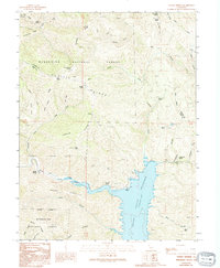
1989 Map of Hough Springs
USGS Topo · Published 1994About this map
Hough Springs and the surrounding wilderness of the Mendocino National Forest define this landscape during the late 1980s. The area is dominated by the sprawling Indian Valley Reservoir, an artificial impoundment on the North Fork Cache Creek that reshaped the local drainage. Evidence of historical activity is visible at the Barkerville (Site) near the reservoir's edge, while the terrain is etched with numerous 4WD trails crossing high points like Pacific Ridge and Indian Ridge.
Find a feature on this map
46 named features on this map. Tap any name to fly to it.
Don’t see what you’re looking for? This feature index may not catch every label — zoom into the map to look around manually.
Map Details
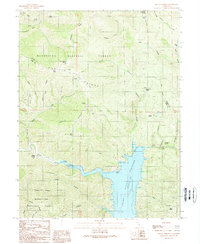
Editions of this 1989 Hough Springs Map
2 editions found
Other maps of this area

1920 · Venado
USGS Topo · 1:62,500

1924 · Bartlett Springs
USGS Topo · 1:62,500

1942 · Bartlett Springs
USGS Topo · 1:62,500

1943 · Lodoga
USGS Topo · 1:62,500

1944 · Bartlett Springs
USGS Topo · 1:62,500

1944 · Wilbur Springs
USGS Topo · 1:62,500

1951 · Stonyford
USGS Topo · 1:62,500

1957 · Ukiah
USGS Topo · 1:250,000

1958 · Clearlake Oaks
USGS Topo · 1:24,000

1960 · Ukiah
USGS Topo · 1:250,000