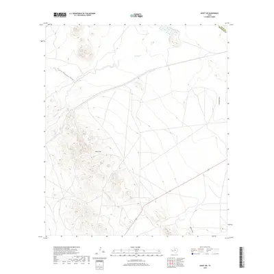
2019 Map of Hovey SW
USGS Topo · Published 2019About this map
The high desert terrain of the Trans-Pecos is defined by significant topographic landmarks and drainage networks along the border of Pecos and Brewster Counties. Dominating the central landscape is the peak known as Squaws Teat, which serves as a prominent navigational marker for the surrounding basin. The hydrology of this arid region is traced by the winding course of Musquiz Creek (also labeled Musquiz Cr), which intersects with several dry washes and canyons. The topographical relief is further articulated by Hatch Canyon Draw, Antelope Draw, and Mah Pe Draw, which together map the natural flow of water across this sparsely developed ranching and livestock country during the late 2010s.
Find a feature on this map
7 named features on this map. Tap any name to fly to it.
Don’t see what you’re looking for? This feature index may not catch every label — zoom into the map to look around manually.
Map Details
Editions of this 2019 Hovey SW Map
This is the sole edition of this map. No revisions or reprints were ever made.
Other maps of this area

1894 · Fort Davis
USGS Topo · 1:125,000

1895 · Alpine
USGS Topo · 1:125,000

1897 · Fort Davis
USGS Topo · 1:125,000

1923 · Altuda
USGS Topo · 1:62,500

1929 · Hovey
USGS Topo · 1:125,000

1954 · Fort Stockton
USGS Topo · 1:250,000

1958 · Fort Stockton
USGS Topo · 1:250,000

1972 · Elam Mountain
USGS Topo · 1:24,000

1973 · Fort Stockton
USGS Topo · 1:250,000

1980 · Hovey
USGS Topo · 1:24,000