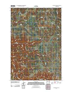
2011 Map of Howard Butte
USGS Topo · Published 2011About this map
Howard Butte and Smith Mountain anchor this pocket of Oregon, where the landscape is defined by a sequence of high-elevation meadows and remote drainage systems. The Wallowa River skirts the southwestern corner, joined by mountain waters from Fisher Creek and Wise Creek. This area shows a pattern of early 21st-century land use where historic naming conventions persist in features like Downards Meadow and Deerings Meadow. The presence of Camp Five and the Coal Docks along Brown Rd suggest an enduring infrastructure for resource management and transport. Researchers will find a terrain carved by numerous seasonal waterways, including Grossman Creek and the steep descent of Skylight Canyon, documenting the geographic isolation and nomenclature of these interior uplands.
Find a feature on this map
21 named features on this map. Tap any name to fly to it.
Don’t see what you’re looking for? This feature index may not catch every label — zoom into the map to look around manually.
Map Details
Editions of this 2011 Howard Butte Map
This is the sole edition of this map. No revisions or reprints were ever made.
Other maps of this area

1955 · Grangeville
USGS Topo · 1:250,000

1959 · Grangeville
USGS Topo · 1:250,000

1964 · Howard Butte
USGS Topo · 1:24,000

1964 · Akers Butte
USGS Topo · 1:24,000

1964 · Cricket Flat
USGS Topo · 1:24,000

1964 · Wallowa
USGS Topo · 1:24,000

1964 · Minam
USGS Topo · 1:24,000

1964 · Rondowa
USGS Topo · 1:24,000

1967 · Fry Meadow
USGS Topo · 1:24,000

1967 · Promise
USGS Topo · 1:24,000