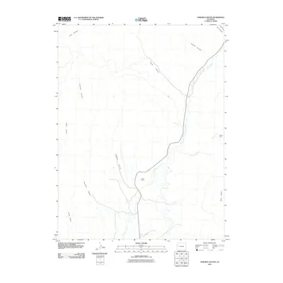
2010 Map of Howard Canyon
USGS Topo · Published 2010About this map
East Salt Creek defines the central corridor of this Western Colorado landscape, carving a path through a series of significant drainages and canyons. The terrain is characterized by a network of erosion-cut features, including the eponymous Howard Canyon and the deeply etched Demaree Canyon to the west. While much of the area remains undeveloped, human activity is marked by the presence of Young Ranch and the isolated Monger Mine located near Munger Creek in the eastern portion of the quadrangle.
Find a feature on this map
13 named features on this map. Tap any name to fly to it.
Don’t see what you’re looking for? This feature index may not catch every label — zoom into the map to look around manually.
Map Details
Editions of this 2010 Howard Canyon Map
This is the sole edition of this map. No revisions or reprints were ever made.
Other maps of this area

1956 · Grand Junction
USGS Topo · 1:250,000

1959 · Grand Junction
USGS Topo · 1:250,000

1960 · Grand Junction
USGS Topo · 1:250,000

1962 · Grand Junction
USGS Topo · 1:250,000

1964 · Grand Junction
USGS Topo · 1:250,000

1964 · Douglas Pass
USGS Topo · 1:24,000

1964 · Baxter Pass
USGS Topo · 1:24,000

1964 · Calf Canyon
USGS Topo · 1:24,000

1965 · Grand Junction
USGS Topo · 1:250,000

1968 · Badger Wash
USGS Topo · 1:24,000