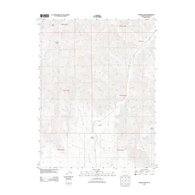
2013 Map of Howard Canyon
USGS Topo · Published 2013About this map
East Salt Creek defines the central corridor of this Garfield County landscape, following a winding course south alongside the path of Co-139. The map details a high-elevation environment where numerous drainages, including Munger Creek, have carved distinct features such as Demaree Canyon and Ashford Canyon. The lone named homestead, Young Ranch, is situated near the center of the sheet, illustrating the sparse settlement patterns typical of this portion of the Colorado Plateau in the early 21st century.
Find a feature on this map
16 named features on this map. Tap any name to fly to it.
Don’t see what you’re looking for? This feature index may not catch every label — zoom into the map to look around manually.
Map Details
Editions of this 2013 Howard Canyon Map
This is the sole edition of this map. No revisions or reprints were ever made.
Other maps of this area

1956 · Grand Junction
USGS Topo · 1:250,000

1959 · Grand Junction
USGS Topo · 1:250,000

1960 · Grand Junction
USGS Topo · 1:250,000

1962 · Grand Junction
USGS Topo · 1:250,000

1964 · Grand Junction
USGS Topo · 1:250,000

1964 · Douglas Pass
USGS Topo · 1:24,000

1964 · Baxter Pass
USGS Topo · 1:24,000

1964 · Calf Canyon
USGS Topo · 1:24,000

1965 · Grand Junction
USGS Topo · 1:250,000

1968 · Badger Wash
USGS Topo · 1:24,000