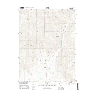
2016 Map of Howard Canyon
USGS Topo · Published 2016About this map
Grand Valley and its surrounding high-desert drainage systems are the central focus of this 2016 survey in western Garfield County. The landscape is defined by a dense network of erosional features, most notably Howard Canyon and Demaree Canyon, which dictate the local transport patterns. The primary arterial route, Douglas Pass Rd, follows the course of E Salt Cr as it winds through the center of the sheet, providing a vital corridor through the arid breaks.
Find a feature on this map
18 named features on this map. Tap any name to fly to it.
Don’t see what you’re looking for? This feature index may not catch every label — zoom into the map to look around manually.
Map Details
Editions of this 2016 Howard Canyon Map
This is the sole edition of this map. No revisions or reprints were ever made.
Other maps of this area

1956 · Grand Junction
USGS Topo · 1:250,000

1959 · Grand Junction
USGS Topo · 1:250,000

1960 · Grand Junction
USGS Topo · 1:250,000

1962 · Grand Junction
USGS Topo · 1:250,000

1964 · Grand Junction
USGS Topo · 1:250,000

1964 · Douglas Pass
USGS Topo · 1:24,000

1964 · Baxter Pass
USGS Topo · 1:24,000

1964 · Calf Canyon
USGS Topo · 1:24,000

1965 · Grand Junction
USGS Topo · 1:250,000

1968 · Badger Wash
USGS Topo · 1:24,000